6.3. Using LiDAR#
The FX200 uses the built-in LiDAR sensor to measure the cross-section profile of the channel. A scan can be started manually from the configurator application, or the instrument can perform scans automatically at a configurable interval. Automatic scanning and the scanned angular sector are configured in the LiDAR group on the Settings page, as described in 4. Flow Meter Settings.
To run a LiDAR scan manually, open the LiDAR page in the configurator application and click Start manual scan.
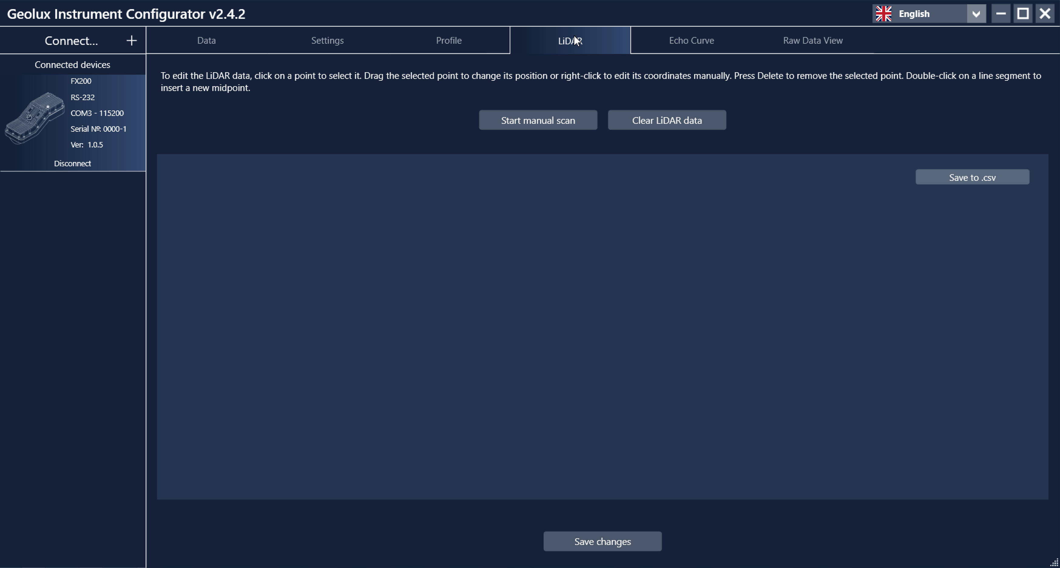
Empty LiDAR scan page.#
The instrument starts scanning immediately. A manual scan takes 30 to 45 seconds. When the scan is complete, a preview of the scanned channel profile is displayed:
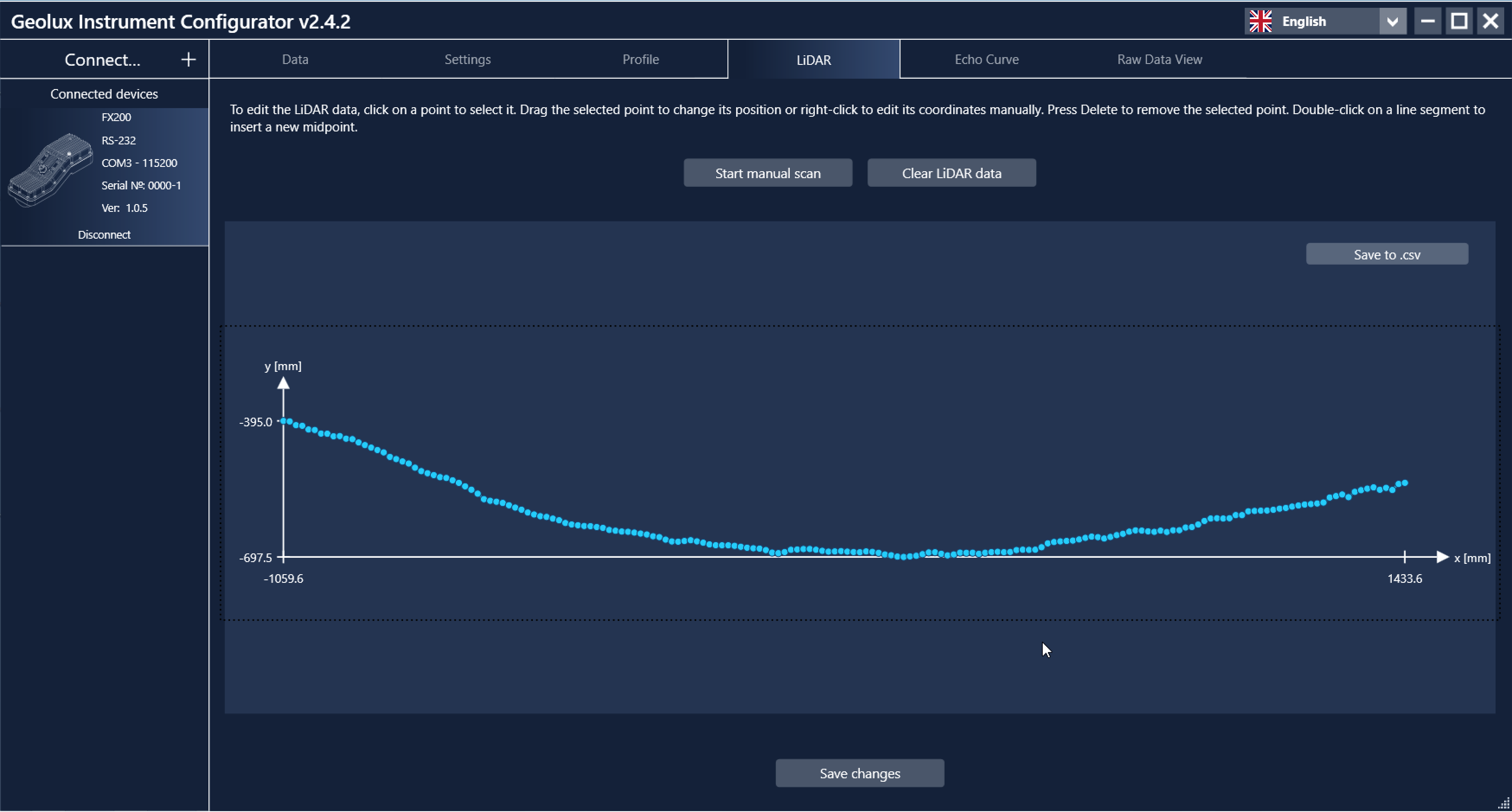
LiDAR scan preview.#
The preview window shows the result of the most recent LiDAR scan. A manually started scan is not yet used as the actual channel profile for discharge calculation. In the preview window, the scan results can be reviewed, and the scanned channel points can be modified, added, or deleted:
Click a point to select it. The coordinates of the selected point are displayed.
Drag the selected point to change its position, or right-click it to enter its coordinates manually.
Press the Delete key to remove the selected point.
Double-click a line segment between two points to insert a new point at the middle of the segment.
Drag a rectangular selection over a range of points to select several points at once.
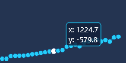
Selecting a channel point.#
To accept the scan and start using it as the actual channel profile, click Save changes. The scan is saved as the main profile for discharge calculation, and the Profile page is displayed immediately.
To discard the scanned data and empty the LiDAR page, click Clear accumulated data. The scanned points can also be exported for external processing by clicking Save to .csv.